I’m a techie… been in IT for almost 40 years now. Tracking stats, maps, and things are all fun things for me. They aren’t for everyone, and that’s OK. Everyone has their own Camino and one is no better than another. I have always used tech on my Caminos. Researching, mapping, GPS tracks, health and distance stats, etc. Many ask which tools to use, and there are as many tools and ways to use them as there are Caminos. But here’s what I have used and what I like…
Fitness Tracker
I use an iPhone 13 Plus and Apple Watch Ultra 2. They just work. I particularly like that all of my files, photos, and information I use on a day-to-day basis is automatically backed up to the cloud and synced on all of my devices. If I lose my phone, I haven’t lost any data, and I can be up and running as soon as I replace it. The one thing I don’t like about my Apple Watch is that if its misting outside, or because I am a surdo (left-handed), buttons or the screen get pushed/tapped and stop my workouts and tracking. I have just recently found a way to overrule this – put the watch in “Water Lock” mode where it locks the screen and buttons so they can’t be inadvertently tapped or pushed. I think this will solve my problem.

Mapping Software
Gaia Pro

MapMyFitness
As for software for fitness tracking, I use MapMyFitness by Underarmor. I have used many others, but have settled on MapMyFitness. There’s not really anything I like about it more than the others, they are all underwhelming – that is to say, I haven’t found anything better about any of the others to make me want to change and lose my history, or have to migrate my history.
For generic mapping software, I use GaiaPro. This is a pretty advanced application that has a myriad of map styles and sources to choose from. There are even base hiking maps with the Camino routes already on them. Standard features are routing, off-line maps, route tracking, photo insertion, etc. I also use it for other things like my CritterCam projects with the California State Parks.

Gronze.Com

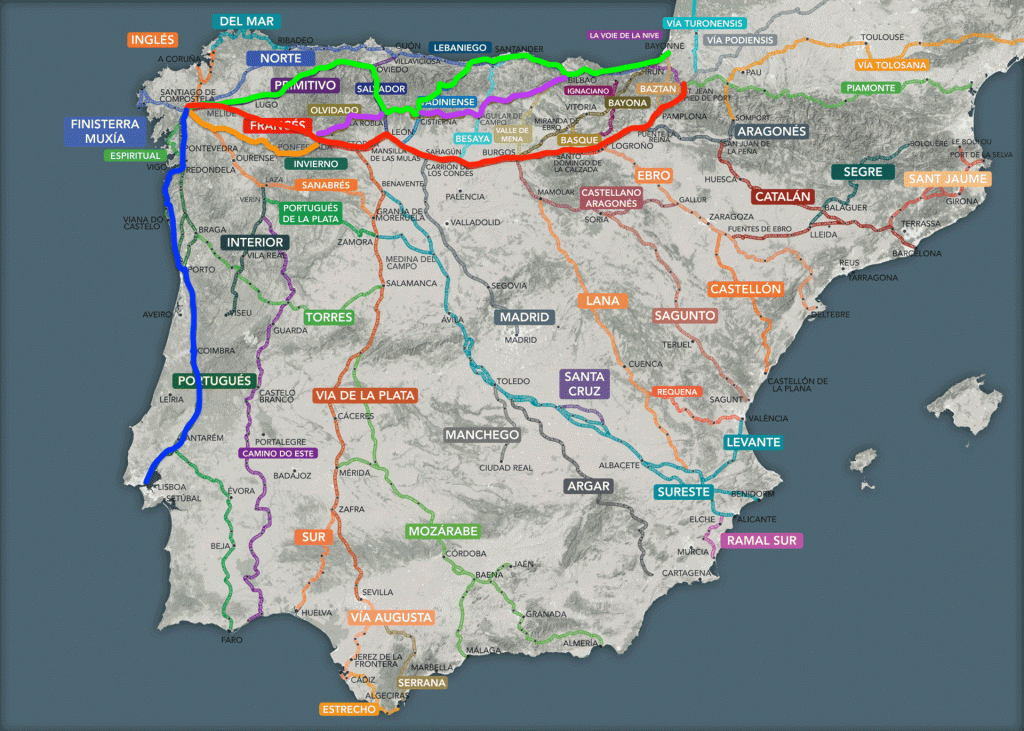
Gronze.com is an online mapping tool that is specific to the Camino. It’s in Spanish/Castellano, and has the official routes documented. I primarily use it for the other information it contains, which I will talk about later.
Google Maps. I use google maps whenever I am overseas, as I find that it has the best/most accurate database of businesses, transit, etc. that I might need while I am traveling. I like Apple Maps better, but it’s not as good as Google Maps overseas.
WikiLoc

Wikiloc – this is similar to All Trails, but it’s more widely used in Europe than All Trails – or seems to be. This is both good and bad. There are sooooo many trails that have been uploaded by so many people, it’s difficult to filter just what you need. You can download routes to your phone and watch if you want to do that. But for routing, I like to put my devices on mute and route by the yellow arrows. While I like tech, I’m working on being present more…
Camino Specific Apps
Gronze.com is a Spanish Language site that has detailed information on most Camino routes including albergues, places to eat and get supplies, history, route steps and information, attractions, etc. It seems endless the amount of information they have. Very useful. My main gripe about Gronze.com is that it’s not an app. You have to have internet access and it can be hard/slow to navigate on a small screen. But the amount of information available is probably the best of the apps I’ve been exposed to.
Wise Pilgrim
Wise Pilgrim Apps (one for each route). This is a great set of tools. They offer much of the same information as Gronze.com, but it’s in an app, offline, and in English. It’s quick to navigate and they have done a really good job at improving it over the years.
These tools provide trail profiles, details about which trails and services are open/closed, and they also provide a forum where users can post updates which WP can incorporate into their database.

Transportation
Don’t forget transportation and how to get around. Google Maps is a good starting place, but I quickly found that it was inaccurate and incomplete. I have yet to find a complete tool that encompasses most forms of transportation in Spain. I have, however, downloaded BlaBlaCar -again-. In 2015, I took a ride share from Madrid to Pamplona and it cost me something like €12. A bus ride from Bilbao to Bayona, Fr, on Google Maps was going to take 4-6 hours and cost €40. On Uber it was going to be something like €350. On BlaBlaCar, it cost €5.99 and will take 2hr 20min on a bus. There are other transport apps like RENFE (train), Alsa (bus), etc, but those are sometimes hard to navigate if you don’t know the exact stations you need to be at/go to.
Caveat
You always have to have a caveat as there are those people who like to argue and insert their toxicity behind the anonymity of the internet. These are only some of the tools I have used, and the ones I am taking on my trip this year. If I find others, I will look at them. Tools that I have used in previous years are no longer on my phone as I found these work better for me. Make your Camino your own, find the tools that work best for you.